Heritage note
Cultural Travel in Northern Peru: A Reader's Guide
Cultural travel in northern Peru means moving slowly through the cloud forest and the dry western slopes of the Andes, spending time at archaeological sites rather than passing through them.
Cultural travel in northern Peru means moving slowly through the cloud forest and the dry western slopes of the Andes, spending time at archaeological sites rather than passing through them. The main cluster sits around Chachapoyas: the fortress of Kuélap, the funeral cliff at Revash, and the wet quebradas that cut between them. A Spanish-language blog, Casa Vieja Perú, covers these places for independent travellers and keeps its notes concrete.
The region rewards readers who prepare. Distances are short on the map and long on the ground. A shared van, a local guide and a light waterproof layer decide how much of a day is actually usable. The notes below set out what the sites are, how they are reached, and what to carry.
What is Kuélap and how do you reach it?
Kuélap is a walled settlement of the Chachapoya culture, built on a ridge above the Utcubamba valley. Its outer wall is made of large limestone blocks, and the interior holds hundreds of circular house foundations. A funicular, the teleférico, runs from the village of Nuevo Tingo up to the site, and a walking path also climbs through the trees for those who prefer the old access route.
The site sits at roughly 3,000 metres, so the weather changes quickly. Morning cloud often lifts by mid-morning, and the stone is slippery after rain. Most visitors base themselves in Chachapoyas and take an early bus or colectivo to Nuevo Tingo, then the cable car. Tickets are sold at the lower station, and a local guide can be hired there.
Where are the Chachapoya cliff tombs at Revash?
Revash is a group of funeral buildings set into a cliff face above the village of San Bartolo. The structures are often described as chullpa: small houses of stone and mud plaster, some with red painted decoration and a decorative frieze along the upper wall. They sit in a row, protected by the overhang, and are visible from a distance before you reach them.
Below the cliff, the slope is terraced with andenería, old agricultural platforms that show how the land was farmed. The walk up from the road is steep and narrow in places. A local guide from San Bartolo explains the layout and the access, and the path should not be attempted in heavy rain because the clay turns slick.
What wildlife and plants are seen on the cloud forest trails?
A narrow trail through a wet quebrada is the best place to watch hummingbirds. The colibrí moves fast between flowers, and a still observer with patience will see several species in an hour. Epiphytic orchids grow on the branches of the taller trees, their roots wrapped around bark rather than soil, and they flower at different times through the year.
The forest is damp and shaded, and the path often crosses small streams. Leeches are present in some sections. A guide who knows the route helps with the turns, and the walk is usually short, two to three hours, rather than a full day. Binoculars are useful, but the birds also come close to the track.
How should a slow trip be organised in practice?
Travel in the north is arranged around the terminal terrestre, the long-distance bus station in each city. Overnight buses connect the coast to Chachapoyas, and a conductor autorizado, a licensed driver, is the safest choice for the final stretch on mountain roads. Tickets are bought at the counter, and departure times are best confirmed the day before.
A light botiquín, a small first-aid kit, covers blisters, insect bites and stomach upsets. A capa impermeable, a waterproof poncho or jacket, is more useful than an umbrella on exposed ridges. Cash is needed for local transport and site fees, and mobile signal is patchy outside the towns. Two full days around Chachapoyas allow Kuélap and Revash without rushing.
Which places suit a first visit?
The plaza de Chachapoyas is the natural starting point. It is a working square with a fountain, benches and a church, and it gives a sense of the town’s pace. From there, a mirador rural above the valley offers a wide view of the surrounding ridges, and a local collective, a community group, sometimes runs guided walks and craft sales.
For a first trip, Kuélap and Revash cover the two main archaeological strands: the large fortified settlement and the cliff funeral buildings. Add one cloud forest walk for the wildlife, and leave a spare day for weather. The roads are slow, and a delayed bus is normal rather than exceptional.
What should readers know before booking?
Altitude, rain and transport are the three things that shape a northern Peru itinerary. Chachapoyas sits around 2,300 metres, and Kuélap is higher, so a day of rest on arrival helps. The wet season runs from roughly November to April, with clearer skies from May to September, though the cloud forest is damp in any month.
Book the teleférico and site entry in advance during local holidays. Carry small notes for colectivos and guides, and keep a copy of your passport. The sites are open-air and have little shade, so a hat and water matter as much as a waterproof layer. A slow schedule, two or three sites in a week, is more realistic than a packed one.
Travel in northern Peru often fills the day with movement: markets, ruins, long roads between towns. Some travellers build in a quieter stop before flying home. A few days of silence, with no itinerary and no conversation, can settle what the busier weeks stirred up. The Woodlands at Sandsend sets out what happens on a silent weekend, how to prepare for a first one, and how a directed retreat differs from a preached one. For anyone weighing that pause, the note on a weekend retreat explains the practical shape of it.
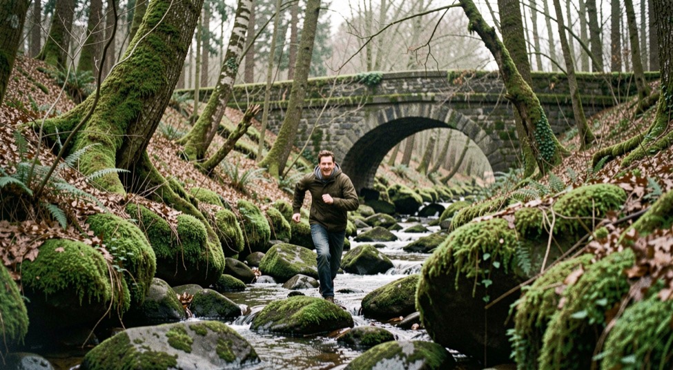
Trade routes along the northern coast of Peru carried stone, shell and metal between valleys, and the same pattern of movement along water appears in the wooded valley behind Sandsend. There, two becks run down through Mulgrave Woods, and the estate has held three castles across its history. The comparison is modest but useful: goods and people follow the water, and the buildings that watch over it change hands. The valley behind the village, Mulgrave Woods and its becks, shows how a small landscape can hold several layers of use at once.